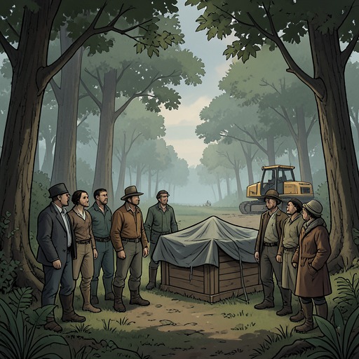
Irish Government
In the WoodsThe Irish Government is the national authority behind the proposed motorway through Knocknaree and the contested timetable for excavating the archaeological site. Its refusal to alter the route, even after archaeologists judged the site more important than first expected, places public infrastructure policy at the center of a conflict over heritage, local land, and private development. The account presents the government less through its internal workings than through the consequences of its decisions and the unanswered questions those decisions leave behind.
The motorway and the archaeological site
The government announced the motorway plans in March 2000. Because the area was known to contain archaeological remains, a survey team assessed the site and reported that its importance was much greater than initially understood. The assessment concluded that building there would be indefensible and that the motorway should be moved. The government acknowledged the assessment but would not change the route.
Only after substantial public disputes did the government permit an excavation, and then for two years. Mark Hanly says that a proper investigation would require at least five years to do the site justice. The difference between the permitted schedule and the time he considers necessary makes the policy conflict concrete: the excavation is allowed, but on terms that leave the site incompletely studied. Mark describes the government as unresponsive to petitions, demonstrations, and lawsuits organized against the plan.
Land acquisition and development incentives
Sam O'Neill’s map traces the proposed road across the wood and excavation area and places it alongside a pattern of land ownership. He reports that the government announced the plans in March 2000 and bought land from local farmers over the following year under compulsory purchase orders. Separately, by the time of the announcement, three companies already owned almost all the land around that section of the route. Four farmers had held out, in part because buyers were offering more than agricultural land would ordinarily fetch.
The expected value of the land depended on what the motorway would make possible. With improved access, industrial and residential development around Knocknaree could become more attractive. The four farmers sought to have their land rezoned for development, but the county council rejected their applications, including four applications by one farmer. After the large companies acquired the land, however, they applied for rezoning and obtained it. The sequence fuels suspicion of unequal access to planning decisions, but the account does not establish that the Irish Government itself directed the council’s decisions or prove that a particular official was bribed.
Sam also compares the chosen route with a possible alternative supported by the Move the Motorway campaign. That alternative would run two miles away in some places and four or five miles away in others. Although land north of the original route would remain accessible, property on the southern side could lose value. Estate agents told Sam that industrial land beside the motorway could be worth up to twice as much as comparable land three miles away; he estimates that the difference could amount to millions. In this account, a route presented as a public infrastructure choice is also a decision that distributes substantial potential gains and losses among landowners and developers.
Public justification and political opacity
The government’s refusal to move the road persists despite the archaeological assessment and years of opposition. Mark predicts that the reasons may be examined at a tribunal only ten or fifteen years later, when the inquiry would come too late to prevent the damage he fears. The delay is significant: formal scrutiny may eventually occur, but it cannot necessarily reverse decisions already made or restore the opportunity for a longer excavation.
The map and its chain of transactions give the investigation a way to test suspicions against dates, ownership, and planning outcomes. Yet Sam’s attempts to obtain explanations from the county council produce carefully qualified statements rather than direct answers. He suspects the developers had the council in their pockets, and the narrator connects the land interests to the possibility of threatening calls and payments for violence; these remain suspicions and inferences, not proof that the Irish Government ordered criminal acts. The government’s defining role is therefore both practical and structural: its route decision helps create the conditions for development profits, while the account leaves the precise relationships among national policy, local planning, and private influence open to investigation.
Thematic significance
The Irish Government’s policy decisions link two kinds of value that the story refuses to treat as equivalent. The archaeological site embodies a history that may require years of careful work to understand; the motorway brings the promise of access, construction, and increased land values. The government’s two-year excavation allowance and refusal to reroute the road tilt that contest toward immediate construction, while leaving the loss of research time and the fate of the site in question.
A conversation between Cassie Maddox and the narrator also treats the absence of a persuasive public ideology as part of the political atmosphere: Cassie observes that people need beliefs, while the narrator jokingly calls a slogan about government a kind of ideology. Against that exchange, the motorway dispute shows policy operating less as a declared vision than as a set of decisions with material effects. The government is not shown as a single proven conspirator; it is the powerful institution whose choices shape the field in which archaeological preservation, protest, land speculation, and accountability collide.